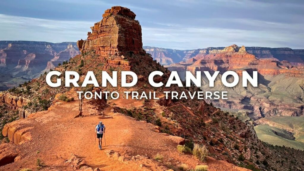
Trail running enthusiasts often opt for a double crossing of the Grand Canyon, but with the North Rim trail temporarily closed, Jeff Pelletier and his group ventured into the less-explored Tonto Trail. This blog post delves into the thrilling experience documented in the YouTube video “Running the Grand Canyon Tonto Trail.”
Key Takeaways:
- Embarking on an alternative adventure: Exploring the Tonto Trail due to the closure of the North Rim trail.
- Diverse terrain and historical significance: The Tonto Trail offers a unique experience with technical and diverse terrain and a rich history.
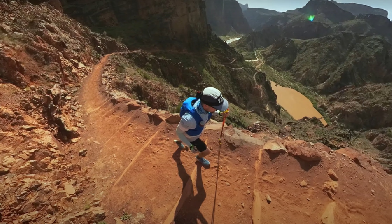
- Challenges and triumphs: Overcoming fatigue, cramping, and the lack of water while covering 32 miles and gaining 8,700 feet in elevation.
- Unforeseen obstacles: Encounter with pipeline replacement leading to potential trail closures in the future.
- Celebrating at Phantom Ranch: Enjoying famous lemonade after completing the runnable part of the adventure.
Reviewing Jeff Pelletier’s Video “Running the Grand Canyon Tonto Trail” Travers
In the YouTube video, Jeff Pelletier and his group embark on an alternative adventure, exploring the Tonto Trail in the Grand Canyon National Park. The North Rim trail being closed for repairs led them to fly into Phoenix and set up base in Flagstaff, a gateway to their challenging hike. Their journey involved descending Hermit’s Trail to the Tonto Platform, traversing the Tonto Trail, and intersecting with Bright Angel Trail for a double crossing of the Grand Canyon. Covering a total distance of 32 miles and gaining 8,700 feet in elevation, the runners faced challenges such as fatigue, cramping, and the scarcity of water. The Tonto Trail’s historical significance, diverse terrain, and advanced difficulty compared to mainstream trails became apparent as they pushed through the grueling adventure. The group celebrated reaching Phantom Ranch with its famous lemonade before gearing up for the climb up South Kaibab, marking the end of the runnable part of their day. The run showcased breathtaking landscapes and a challenging uphill section, capturing the essence of suffering in stunning locations.
Important Points:
- Trail selection rationale: Opting for the Tonto Trail due to the North Rim trail closure.
- Logistics: Flying into Phoenix, basing in Flagstaff, and starting the hike from Hermit’s Trail.
- Terrain and history: Discussing the technical and diverse terrain of the Tonto Plateau and its rich history.
- Challenges: Dealing with fatigue, cramping, water scarcity, and the decision to take a shortcut.
- Pipeline replacement: The potential impact on trail closures and the need for water sources.
- Celebration at Phantom Ranch: Enjoying famous lemonade and gearing up for the climb up South Kaibab.
- Trail conditions: Navigating the runnable and non-runnable sections, including the challenging uphill climb.
Conclusion
“Running the Grand Canyon Tonto Trail” captures an exhilarating journey into the heart of the Grand Canyon’s Tonto Trail. From the strategic decision to explore the lesser-known trail to overcoming challenges and celebrating at Phantom Ranch, the video provides a captivating glimpse into a trail runner’s adventure amidst diverse landscapes and historical significance.
Top 5 Questions and Answers From The Video:
Why did the group choose the Tonto Trail?
The closure of the North Rim trail led them to explore the less popular but more diverse Tonto Trail.
What challenges did the runners face during the adventure?
Challenges included fatigue, cramping, scarcity of water, and the potential impact of pipeline replacement on trail closures.
What historical significance does the Tonto Trail hold?
The Tonto Trail overlaps with ancient indigenous trails and was constructed in the early 20th century for tourism and mining interests.
How did the group celebrate reaching Phantom Ranch?
They celebrated with famous lemonade before gearing up for the climb up South Kaibab.
What is the overall distance and elevation gain covered in the adventure?
The group covered a total distance of 32 miles, gaining 8,700 feet in elevation, anticipating a 10 to 11-hour journey.