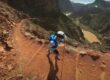
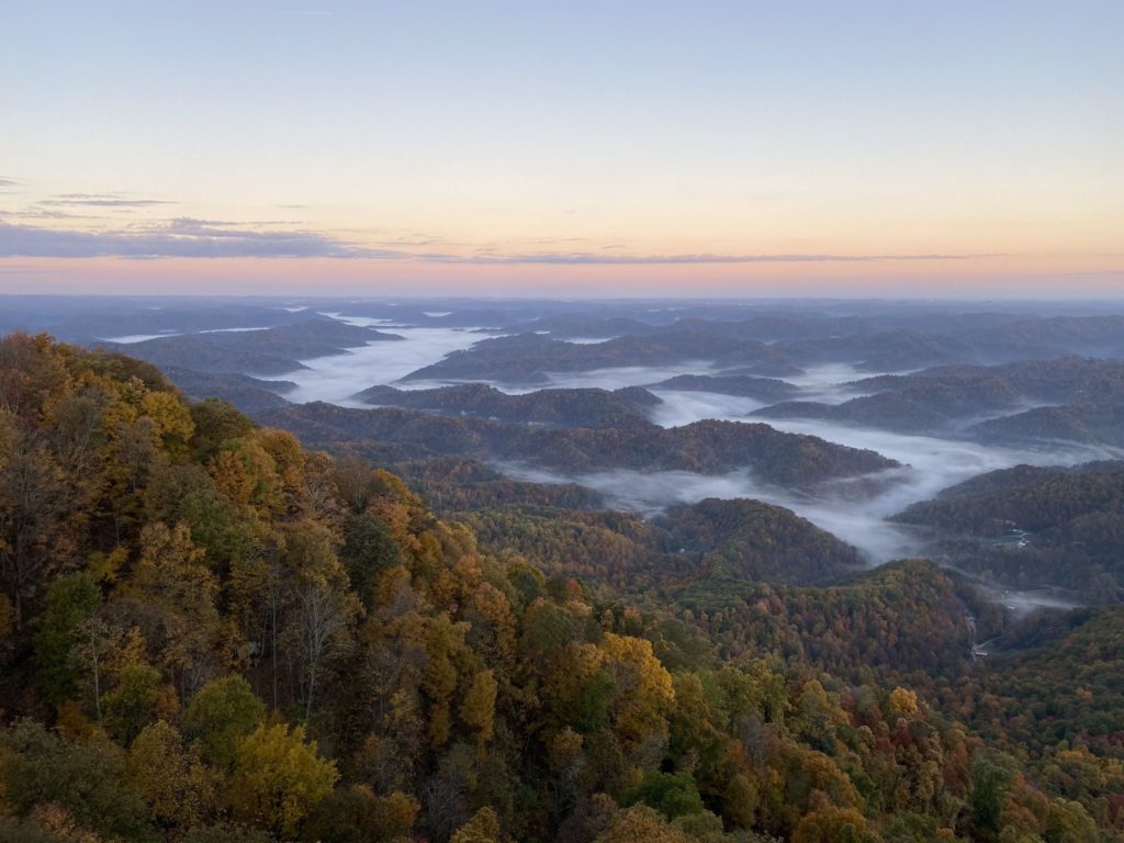
In the land of bluegrass, knobs, gorges, and hollers. There is no shortage of tough trails. And we have you covered with the hardest hikes in Kentucky for hiking or trail running. A lot of these are located in the Red River Gorge area. But there are a few spread out over the state. And if you are looking for a challenge, just keep reading below.
Key Takeaways
- Kentucky offers challenging hikes with arches, rock formations, and steep climbs.
- Koomer Ridge and Gray’s Arch Loop in Daniel Boone National Forest is an 11-mile trail with ups and downs, featuring Gray’s arch and scenic highlights.
- Siltstone Trail in Jefferson County is a 13.5-mile out-and-back trail with ups and downs, offering a workout in a covered forested area.
- Swift Camp Creek Trail is a 13.5-mile out-and-back trail in the Red River Gorge known for its waterfalls, arches, and constant ups and downs.
- Silvermine Arch via Rough Trail, also known as the Red River Gorge XL Loop, is an 18.6-mile loop with arches, caves, climbs, and epic views.
- The Ridge Trail, crossing Kentucky and Virginia, offers wide-open views, rock formations, caves, and waterfalls, with a challenging out-and-back option of nearly 40 miles.
- Rough Trail #221 is a 14.5-mile out-and-back trail in the Red River Gorge with steep ups and downs, arches, caves, bridges, and views.
- Pine Mountain Trail: Highland Section East to West, crossing Kentucky and Virginia, offers stunning views, rock formations, caves, and an extended, well-marked 17+ mile trail.
- Jenny Wiley Trail in Jenny Wiley State Park is a Kentucky classic with lush woods, rock formations, steep climbs, and river and town views.
A List of The Hardest Hikes in Kentucky
Koomer Ridge and Gray’s Arch Loop
Distance: 11 Miles
Type: Loop
Elevation Gain: 2,100+ft
All Trails Link:All Trails Link Click Here
Features: Arches, rock formations, woods, and views.
Description: Located in the Daniel Boone National Forrest, the Koomer Ridge and Gray’s Arch Loop is an 11 mile trail showing off some of the park’s major highlights. Gray’s arch itself is one the most popular in the park. You can expect a lot of ups and downs with a few steep climbs and sets of stairs. There are a lot of trails in the area, so bringing a map can be helpful.
Siltstone Trail
Distance: 13.5 Miles
Type: Out & Back
Elevation Gain: 2,200+ft
All Trails Link:All Trails Link Click Here
Features: Lake view, wildlife, woods, and up & down hills.
Description: Located in Jefferson County, the Siltstone Trail tags the counties highest knobs. Topping out at the county’s highest point. With lots of ups and downs you can expect a workout. The trail is easy to follow but there have been a few recent reported blow downs (2022). And while you won’t get any views. The trail is mostly covered making it perfect for shade on hot sunny days.
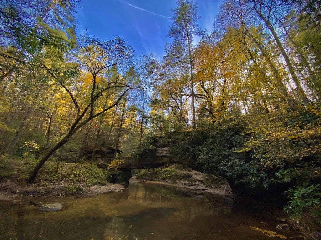
Swift Camp Creek Trail
Distance: 13.5 Miles
Type: Out & Back
Elevation Gain: 2,500+ft
All Trails Link:All Trails Link Click Here
Features: Waterfalls, wildlife, arches, and lots of up and down.
Description: If you read the AllTrails reviews, there is a common consensus. This trail is tougher in person than on paper. With constant ups and downs. The trail is rooty and rocky almost the whole way. But there is a reason this trail is so popular. Featuring multiple waterfalls and arches, it’s a quintessential Red River Gorge backpacking route.
Silvermine Arch via Rough Trail AKA Red River Gorge XL Loop
Distance: 18.6 Miles
Type: Loop
Elevation Gain: 3,300+ft
All Trails Link: All Trails Link Click Here
Features: Arches, rock formations, steep climbs, and epic wide open views.
Description: The Red River Gorge has a lot of amazing trails, and the Silvermine Arch via Rough Trail may be my personal favorite. This route is an addition to the shorter and easier Red River Gorge Loop. Adding Hidden Arch and Silvermine Arch, along with 5 miles and 1,500ft of gain. With arches, caves, climbs and epic views, this is one of the best ways to see the gorge.
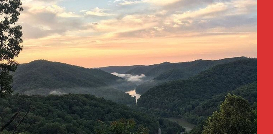
The Ridge Trail
Distance: 19.6 Miles
Type: Point to Point
Elevation Gain: 3,800+ft
All Trails Link: All Trails Link Click Here
Features: Wide open views, rock formations, caves, and waterfalls.
Description: Located in the Cumberland Gap National Historic Area. The Ridge Trail is listed as being in Virginia but technically runs the border of the two states. And you will start just outside of Middlesboro Kentucky. But will drop you out into Virginia if you are doing this as a point to point. I recommend the out and back challenge for just under 40 Miles.
Rough Trail #221
Distance: 14.5 Miles
Type: Out & Back
Elevation Gain: 3,500+ft
All Trails Link: All Trails Link Click Here
Features: Arches, water crossings, bridges, rock stairs, caves, and views.
Description: A trail that truly lives up to its name. The Rough Trail #221 is a Red River Gorge classic. Featuring a strenuous series of steep ups and downs. Some are almost small scrambles with loose rocks. One review even describes it like being in your own Jurassic Park. Featuring a series of incredible arches, caves, a swing bridge, views and more!
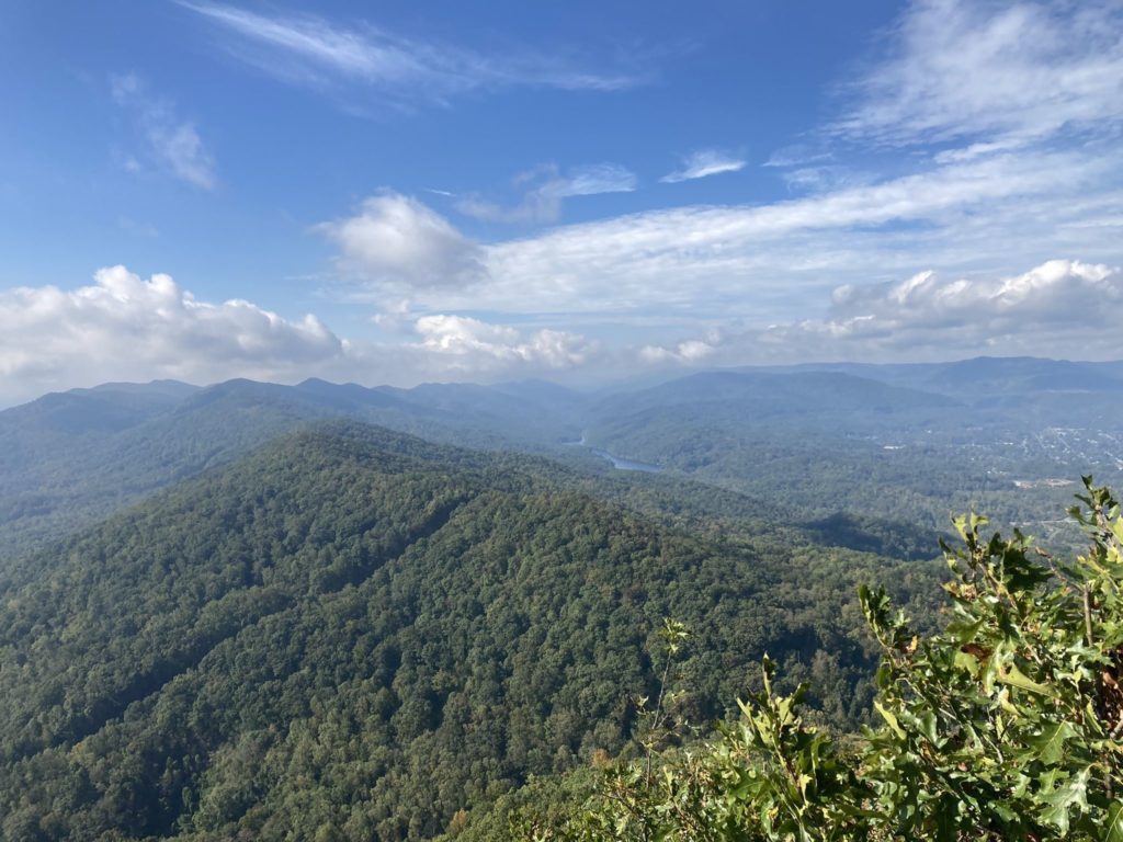
Pine Mountain Trail: Highland Section East to West
Distance: 11.6 Miles
Type: Point to Point
Elevation Gain: 3,500+ft
All Trails Link: All Trails Link Click Here
Features: Views, rock formations, and wildflowers.
Description: Another trail that is listed as being in Virginia but runs the border of the two states. The trail head is just outside of Jenkins Kentucky and ends just outside of Whitesburg Kentucky. So why it’s not listed as a Kentucky trail is beyond me. And based on recent reviews, has been extended to a well marked 17+ miles. Featuring a great mix of wildlife, rock formations and caves. Once you make the ridge the views are stunning for miles.
Jenny Wiley Trail
Distance: 8.9 Miles
Type: Out & Back
Elevation Gain: 3,100+ft
All Trails Link: All Trails Link Click Here
Features: Lush woods, rock formations, steep climbs, and views.
Description: Located in the Jenny Wiley State Park. The Jenny Wiley Trail is a Kentucky classic that makes for a challenging day out. And mile for mile may be the toughest trail in Kentucky. The trail itself is well marked but you can expect more than a few blow downs. For those that do make the journey, you’ll be treated to some stunning, large rock formations. And some great views of the river and town blow.
If you think I’ve left any of the hardest hikes in Kentucky off this list, let me know about them in the comments below. And here is a list of some of the other toughest hikes by state!