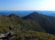
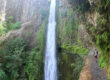
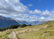
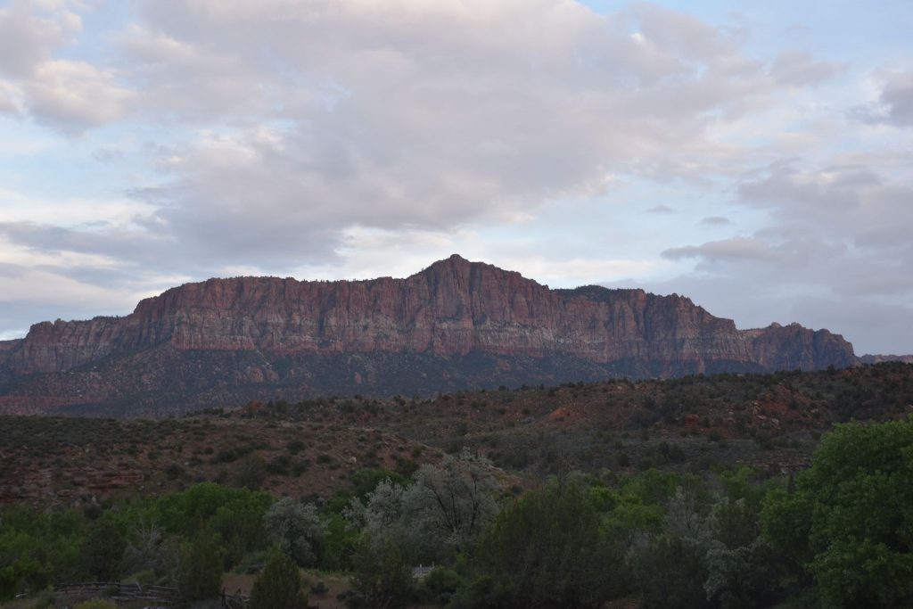
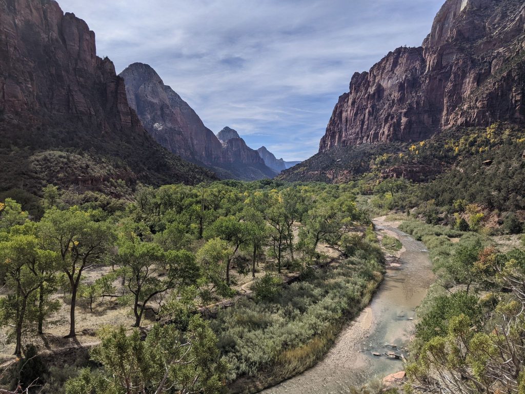
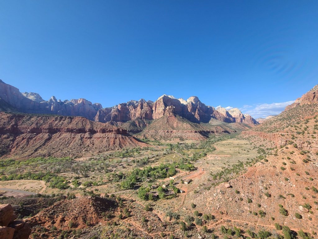
Looking for the best Zion Hikes? Planning a trip to Zion National Park can be overwhelming . There is so much to see. So many trails and so little time. To make it easier to plan your next Zion hiking trip, I’ve put together the top 16 reviewed trails in the park. Some of the highlights include Angels Landing, the Subway, Observation Point and the Narrows.
These are listed by length, starting with the shortest first. And with many, like the Narrows, a lot of groups only go a short ways in and back. So I’ve listed those with a mileage range. If you think I left off any trails, let me know in the comments below!
Key Takeaways from the Best Zion Hikes:
- Explore the top 16 reviewed hiking trails in Zion National Park.
- Highlight trails include Angels Landing, the Subway, Observation Point, and the Narrows.
- Consider trail length, difficulty, and season when planning your hike.
- Some trails are currently closed, so check for updates before your visit.
- Don’t miss the opportunity to experience the breathtaking beauty of Zion National Park’s diverse landscapes.
The 16 Best Hiking Trails in Zion National Park – Zion Hikes
Weeping Rock (Closed)
Distance: 0.3 miles
Elevation Gain: 36ft
Type: Out & Back
AllTrails Link: AllTrails Link Click Here
Description: Sadly Weeping Rock trail is currently closed. We’ll let you know when it opens again.
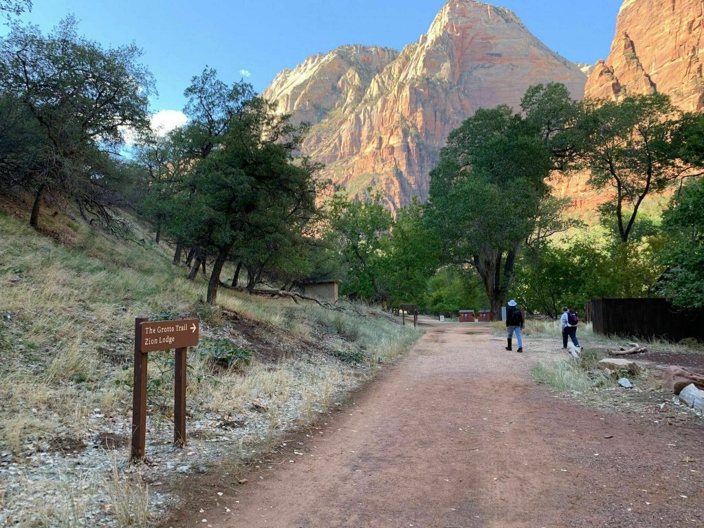
Grotto Trail
Distance: 1.2 Miles
Elevation Gain: 78ft
Type: Out & Back
AllTrails Link: AllTrails Link Click Here
Description: The Grotto Trail is a short family friendly hike suitable for people of all ability levels. This is a great stroll if you have really young kids or for older people with mobility issues. The perfect way for almost anyone to experience hiking in Zion National Park. There are several ranger guided nature walks though here and the deer have become very friendly with people. So have your cameras ready.
Zion Canyon Overlook Trail
Distance: 1 Miles
Elevation Gain:
Type: Out & Back
AllTrails: AllTrails Link Click Here
Description: A quick and easy trail leading to incredible views. This is one of the most popular Zion hikes in the park. The Zion Canyon Overlook Trail is very popular so you can expect crowds. But for a short hike with very little elevation. This is the perfect option for families and people with some mobility issues. The views at the end are definitely worth it, so try and get there as early as possible.
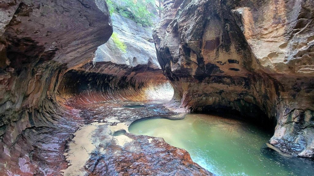
The Narrows (Bottoms Up – No Permit Needed)
Distance: 1-9 Miles
Elevation Gain: 697ft
Type: Out & Back
AllTrails Links: AllTrails Link Click Here & AllTrails Link Click Here
Description: The famous narrows. A stunning walk through one of the world’s most famous slot canyons. This is an incredibly popular hike and you can hike as far up the creek as you would like. There is no permit required for this. And it’s recommended that you bring the proper gear based on the weather/ time of year. The water can get high and cold during the winter.
Emerald Pools Trail
Distance: 3 Miles
Elevation Gain: 620ft
Type: Loop
AllTrails Link: AllTrails Link Click Here
Description: If you’re looking for a step up from the Grotto Trail and still for something suitable for families with kids. Then the Emerald Pools Trail offers a lot of upside. While you can expect crowds. You will also be treated to stunning red rock walls, views, and the pools. This trail is also a loop. Meaning new views the whole hike. Which is nice compared to the many out & backs Zion has to offer.
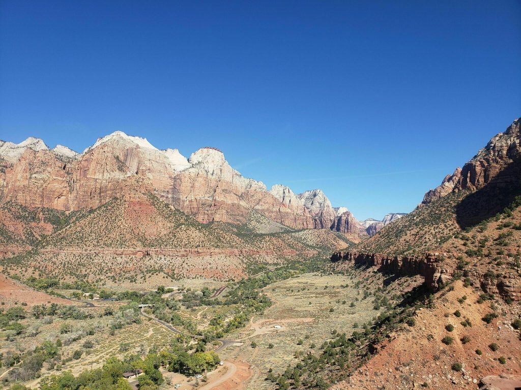
The Watchman Trail
Distance: 3.1 Miles
Elevation Gain: 636ft
Type: Out & Back
AllTrails: AllTrails Link Click Here
Description: The Watchman Trail takes hikers up a small canyon leading to an overview of the park. This is one of the most popular “view” hikes in the park aside from Angels Landing. So to beat the crowds, make sure to get there early. The view at the top is worth the effort. And this is a great hike to challenge novice hikers. Advanced hikers may want to check out Angels Landing or possibly the best view in Zion, Observation Point.
Hidden Canyon Trail (Closed)
Distance: 3.1 Miles
Elevation Gain: 971
Type: Out & back
AllTrails Link: AllTrails Link Click Here
Description: Unfortunately the Hidden Canyon Trail is currently closed. We’ll update this page once it opens up again..
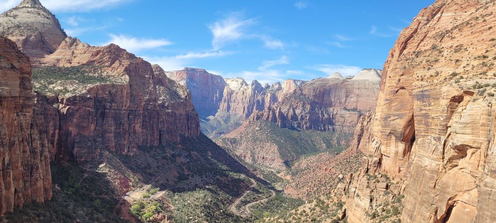
Scout Lookout Trail
Distance: 3.6
Elevation Gain: 1,115ft
Type: Out & Back
AllTrails Link: AllTrails Link Click Here
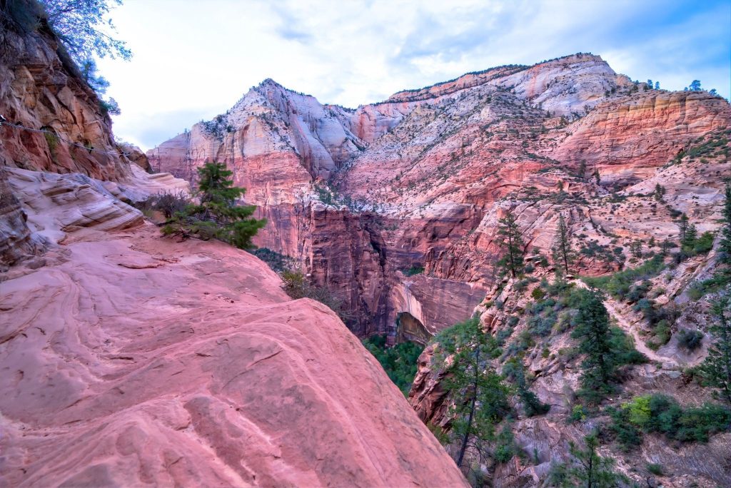
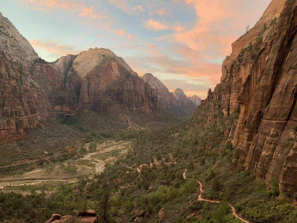
Description: The Scout Trail is really the West Rim trail to Scout Lookout. This hike gains some very quickly through a series of short switchbacks. And with over 1,000ft of gain in less than 2 miles. You will see a lot of people taking breaks on the way up. The trail itself is smooth flattened rock, almost as if it was paved. And the rock can get slick when wet. The views at the top are well worth the hike. This trail takes you to the turn off for Angels Landing or to continue on the West RIm Trail.
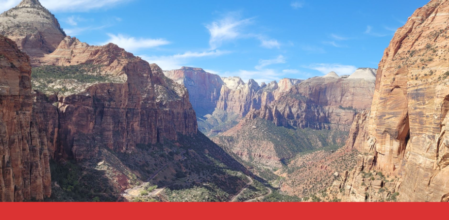
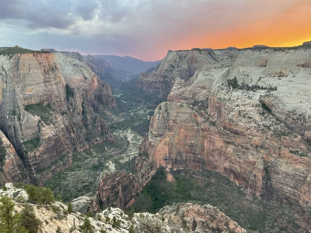
Angels Landing
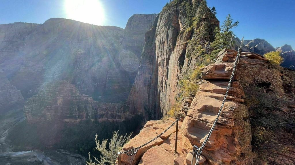
Distance: 4.4 MIles
Elevation Gain: 1,604ft
Type: Out & Back
AllTrails Link: AllTrails Link Click Here
Description: One of the most famous trails in the world, and Zion hiking at its finest. Angels Landing in not for the faint of heart. Taking hikers up a step and narrow path leading to incredible views of Zion National Park. But getting there is half the adventure. Angels Landing is open year round, just make sure you bring a set of micro spikes with you if you are going in the winter. In 2022 they are planning on adding a lottery system for this hike. You can find out more about that here.
Middle Fork Taylor Creek Trail
Distance: 4.9 Miles
Elevation Gain: 590ft
Type: Out & Back
AllTrails Link: AllTrails Link Click Here
Description: A winding trail following a creek up a beautiful forested canyon. The Middle Fork Taylor Creek Trail follows the Taylor Creek which can range from dry, to flowing, to covered in snow depending on the season. If you do go after a recent rain you can expect more than a few creek crossings. This trail definitely gets used but is a great alternative to summer of the more busy routes during high season.
East Mesa Trail to Observation Point
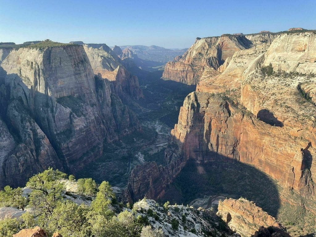
Distance: 7 Miles
Elevation Gain: 702ft
Type: Out & Back
AllTrails Links: AllTrails Link Click Here Or AllTrails Link Click Here
Description: The shorter and easier route to the popular Observation Point. The East Mesa Trail has become more and more popular over the last few years. With some people considering the view better than angels landing. It should also be noted that the road leading to the trailhead is a bit rough, so a higher clearance or 4×4 is recommended. It can also be very muddy in the spring and fall during the rainy season..
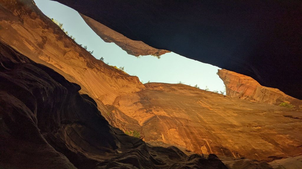
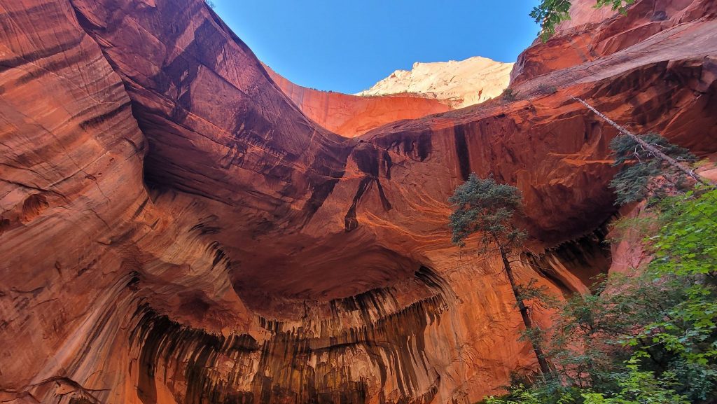
The Subway
Distance: 9.1 Miles
Elevation Gain: 1,305
Type: Out & Back
AllTrails: AllTrails Link Click Here
Description: The Subway Trail in Zion is an incredibly popular Zion trail leading hikers up the North Creek. You can expect to at least get your feet wet so if you’re doing this hike in the winter make sure you have waterproof shoes and neoprene socks. The trail itself leads you through a series of creeks, slot canyons, and trails leading to a waterfall and swimming hole at the end. Make sure to check the water condition before swimming. The trail itself is a steady climb with a steep bit halfway at the turnaround and a good climb out of the creek to finish.
Observation Point via Stave Spring Trailhead
Distance: 11.3 Miles
Elevation Gain: 2,300ft
Type: Out & Back
AllTrails: AllTrails Link Click Here
Description: The longer of the two major routes to Observation Point. If you’re looking for the path least traveled then starting at the Stave Spring Trailhead just may be for you. You can expect less people in general. I’ve heard this called this trail the hidden gem of Zion hiking .And the payoff is a view that many consider better than Angels Landing. You can park with ¼ mile or so of the trail head.
West Rim Trail (Top Down)
Distance: 15 Miles
Elevation Gain: 1,748
Type: Point to Point
AllTrails Link: AllTrails Link Click Here
Description: To start this point to point hike you can catch the shuttle or hire a local outfitter drop you off at the top. Or you can do it as an out and back, making it a long day. While most people will just hike it up as far as they are comfortable, doing the whole trail offers an incredible experience. And with very little ways to access the trailhead, this is one of the best ways to beat the crowds and truly experience Zion hiking.
The Narrows (Top Down – Permit Required)
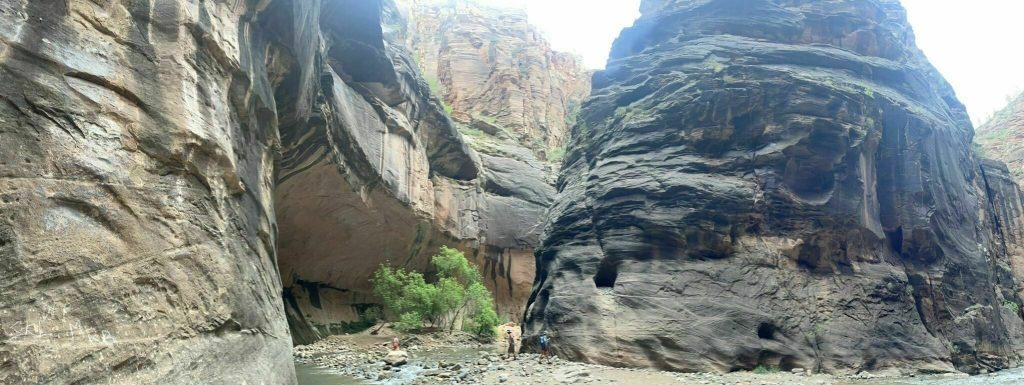
Distance: 15.5 Miles
Elevation Gain: 1,017ft
Type: Point o Point
AllTrails Link: AllTrails Link Click Here
Description: Doing the Narrows from the top down is a true bucket list hike. And one of the most well known of all the Zion hikes. Requiring a permit and shuttle to the start. You won’t be disappointed. The trail can be done year around but the water level and weather can change drastically from summer to winter. And 15 miles through deep water can be a long day. Just take that into account. You can rent water gear and get shuttle service from one of the local guide shops.
la Verkin Creek Trail
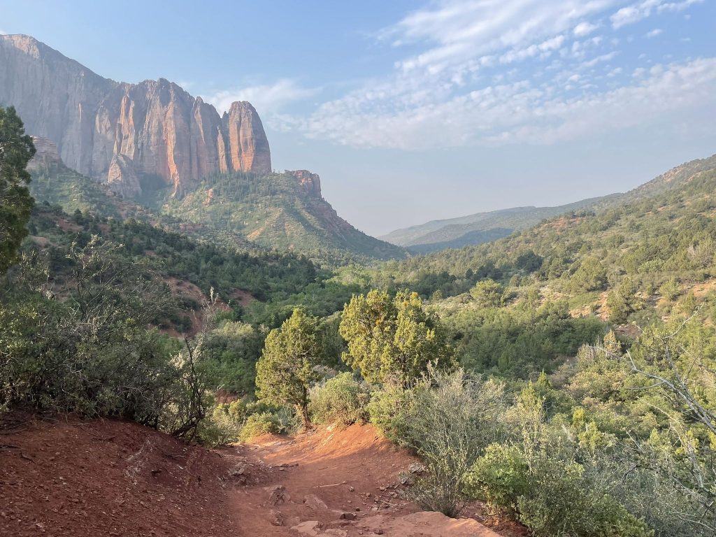
Distance: 18.6 Miles
Elevation Gain: 2,300ft+
Type: Out & Back
AllTrails Link: AllTrails Link Click Here Or AllTrails Link Click Here
Description: One of the true hidden gems in Zion National Park, if you’re looking to beat the crowds then the La Verkin Creek Trail is the perfect fit. It’s not uncommon to go miles without seeing another person. The trail itself treats hikers to towering red rock cliffs, wild flowers, and a great stop at Kolob Arch. This is a great trail to do in the colder months and winter.
Conclusion
Planning a trip to Zion National Park and choosing the right hiking trails can be overwhelming due to the abundance of options. This blog post has provided a comprehensive guide to the top 16 reviewed hiking trails, ranging from easy family-friendly strolls to challenging adventures that offer breathtaking views of the park’s stunning landscapes. Remember to check for trail closures and be prepared with the necessary gear for the season. Whether you’re a novice hiker or an experienced adventurer, Zion National Park has something to offer, making it a must-visit destination for nature enthusiasts. So, start planning your next Zion hiking trip and immerse yourself in the natural wonders of this remarkable park.